
Riding Palomar Mountain with DROC
Palomar Mountain is the one that separates a good day from a long one. South Grade Road climbs the mountain in a series of tight switchbacks that riders come from across Southern California to ride, and DROC keeps five different route plans that include it.
It is rarely the whole ride. Palomar pairs with Ortega on the way down, and with Julian, Borrego Springs or Mesa Grande on the way back, which is how a four-hour day becomes five and a half.
The road itself
There are two ways up and they are not the same road. South Grade Road, County Route S6, is the one people mean when they talk about Palomar: roughly eleven and a half miles from Highway 76 up to the junction at the top, averaging about seven and a half percent, so you gain something like four and a half thousand feet in switchbacks the whole way. The Porsche Club’s San Diego road guide calls it the most technical road in Southern California, and that is a fair description of what it asks of you.
East Grade Road, S7, is the other side, dropping toward Lake Henshaw. It is longer, more open and far faster, with sweepers instead of hairpins. Most of our route plans climb South Grade and come down East Grade, which gets you the technical part while you are fresh and the flowing part on the way home.
The corners on South Grade are genuinely tight, and several tighten further partway through. If you have not ridden it, treat the first run up as reconnaissance. Nobody in the group is timing you.
Worth knowing
- The switchbacks reward patience, not speed. This is a popular road and you will meet traffic in both directions, often mid-corner.
- Expect cyclists, and give them room. South Grade is a nationally known climb and on a good weekend there will be riders on it at walking pace, in your line, around blind corners. Hang back and pass wide.
- The surface is not perfect. Cracked tarmac in places and gravel washed onto the descent, particularly after rain. Read the corner exit, not just the entry.
- It is patrolled, including from the air. Palomar’s reputation cuts both ways. CHP works this road by car and by helicopter, and enthusiastic riding on a public mountain road is exactly what they are there for.
- Mother’s Kitchen is closed. The vegetarian cafe at the junction has been the traditional stop for years, but as of August 2026 its own site says it is temporarily closed for repairs and maintenance, with no reopening date. Check before you plan lunch around it. When it is open it runs 11am to 4pm, shut Tuesdays and Wednesdays, and it serves no meat, which catches people out. The general store next door is the fallback for a cold drink.
- Cold at the top even when the coast is warm. You are climbing the better part of a mile. Layer for the descent, not for the car park you left.
- Fuel before you climb. There is nothing on the mountain. Our plans gas up in Temecula or at Lake Henshaw depending on the direction.
Every time we have ridden it
- Ride to Ortega + Palomar + Julian March 2025, March 2025
- Ortega + Palomar, June 2024
- Long Pie Run February 2024, February 2024
- Long ride: Ortega + Palomar + Borrego Springs + Julian, May 2023
Route plans
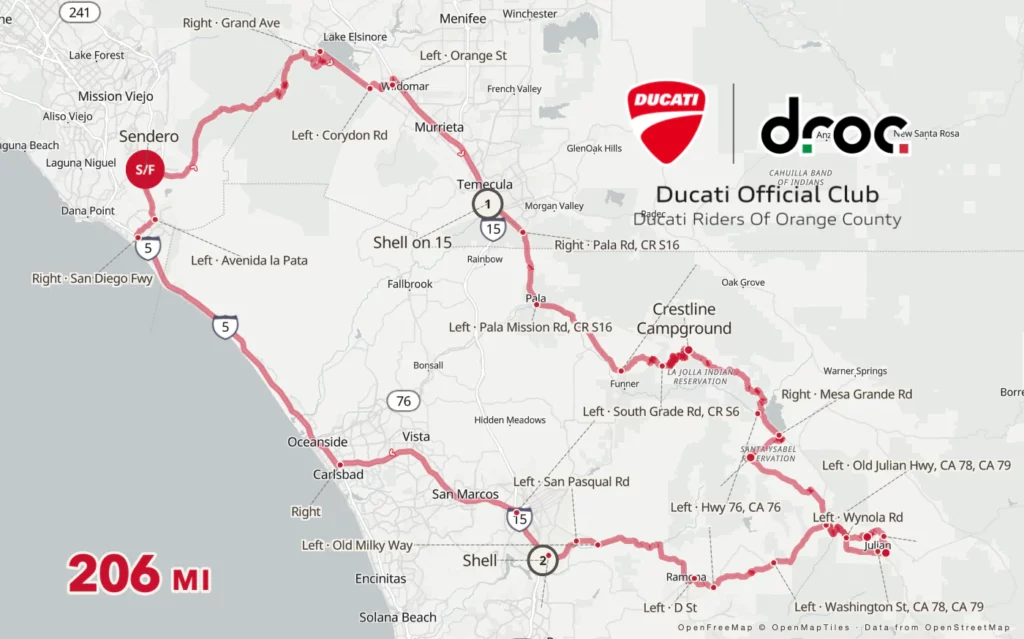
These are the actual route plans DROC has used, with the map for each. Ride leaders pick from these rather than inventing a route every time, which is why the same roads come up again: they work. Nothing stops you riding them on your own.
Ortega, Palomar, Julian, Mesa Grande, HWY 78
| Route | Length | Hours | Map |
|---|---|---|---|
| Ortega, Palomar, Julian, Mesa Grande, HWY 78 | Full day | 5 | Route |
| Ortega, Palomar, Borrego, Julian, HWY 78 | Full day | 5.5 | Route |
| Palomar, HWY 79, Borrego, Julian, HWY 78 | Full day | 5.5 | Route |
| Ortega, Palomar | Full day | 4 | Route |
| Ortega, Palomar, Julian Pie company, Mesa Grande, HWY 78 | Full day | 4.5 | Route |
Ride it with us
Ground rules and hand signals are on the rides page.
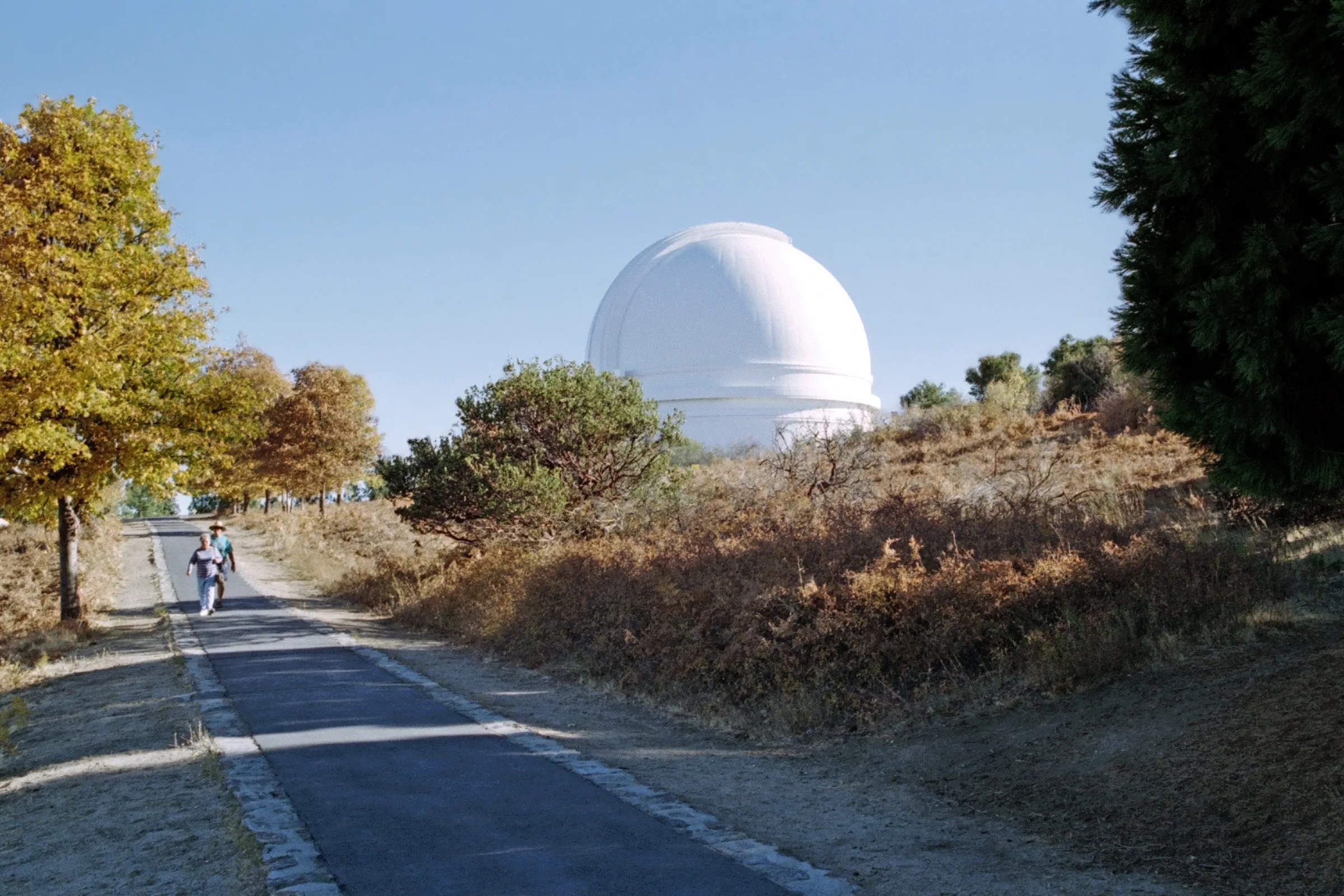
Header photo of Palomar Observatory by Banja-Frans Mulder, CC BY 3.0, via Wikimedia Commons. Resized for the web.